

In my last post, I asked whether anyone with a UAV can call themselves an aerial surveyor. Since publication it became apparent that we should provide some clarification to the terminologies that we are using—including professional certification and licensing—we have updated the piece to reflect this.
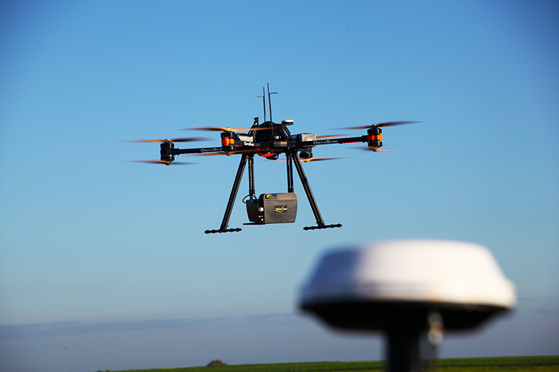
Whatever the case, it is clear that UAV imaging operations require a professional approach. That is especially true in the implementation of the imaging technologies and methodologies you choose. That’s why this week I would like to argue that we shouldn’t assume UAV operations enable cheaper surveys. I would also like to make the case that UAVs can still the best tool for the project, as long as you account for the real cost.
First, the upfront costs that make UAVs more expensive than you think.