
New Software, Higher Resolution
GeoSLAM has also updated the software, augmenting their pay-per-use cloud platform by adding a desktop client. This means customers can process data on site to ensure coverage, with or without an internet connection. It also means that customers can capture and process scans of sensitive sites without ever letting the data leave the premises.
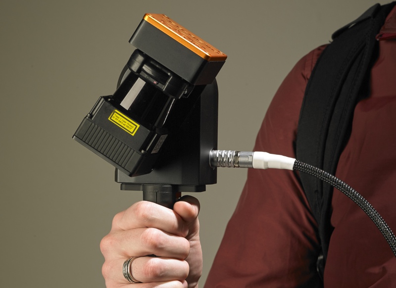
Perhaps more importantly, though, the ZEB-REVO also scans at a higher resolution. “The move to 100hz [from the ZEB1’s 40hz]is probably what’s giving the most value in the ZEB-REVO,” Reid says. “When people used to look at the ZEB1 data, it was quite sparse and they had troubles with that, whereas with 100hz, it’s getting up toward a level that people expect to see with typical terrestrial scanning. They can accept the data much more easily than they did with the ZEB1.”
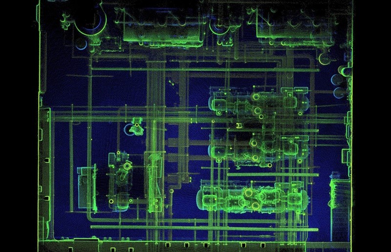
Reid says that the increased resolution, when coupled with the automatic rotation of the scan head, allows the ZEB-REVO to produce “a much cleaner, less noisy, higher-resolution, and better structured point cloud.”
This means clearer features, which are easier to work with for tasks like automatic feature recognition or manual modeling. Another benefit of this cleaner point cloud is that SLAM algorithms operate with better accuracy because there are more features for it to work with when matching scans.