Pacific Environment Limited has begun using Sigma Space’s to MiniMPL LiDAR, or micro-pulse LiDAR, “to provide additional information on real-time dust source activity on large sites where filling in the large gaps between standard monitoring sensors can bring about significant improvements in environmental imagery.”
What is micro-pulse LiDAR? Since many of us are asking this, Sigma Space has included a short explanation and a really sharp video.
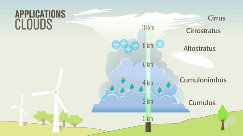
“MPL is a sophisticated laser remote sensing system that provides continuous, unattended monitoring of the profiles and optical properties of cloud and aerosols in the atmosphere.” When the laser pulses reflect off these particles, the device measures the intensity to determine atmospheric information in real time.
Here’s more on how it works and why you would want to use it.