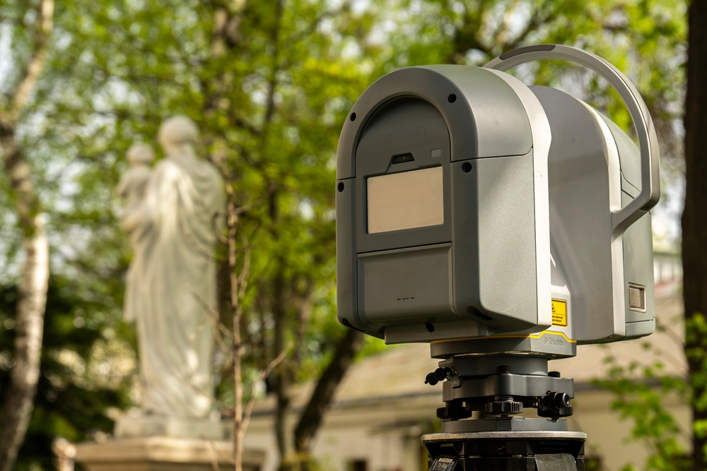
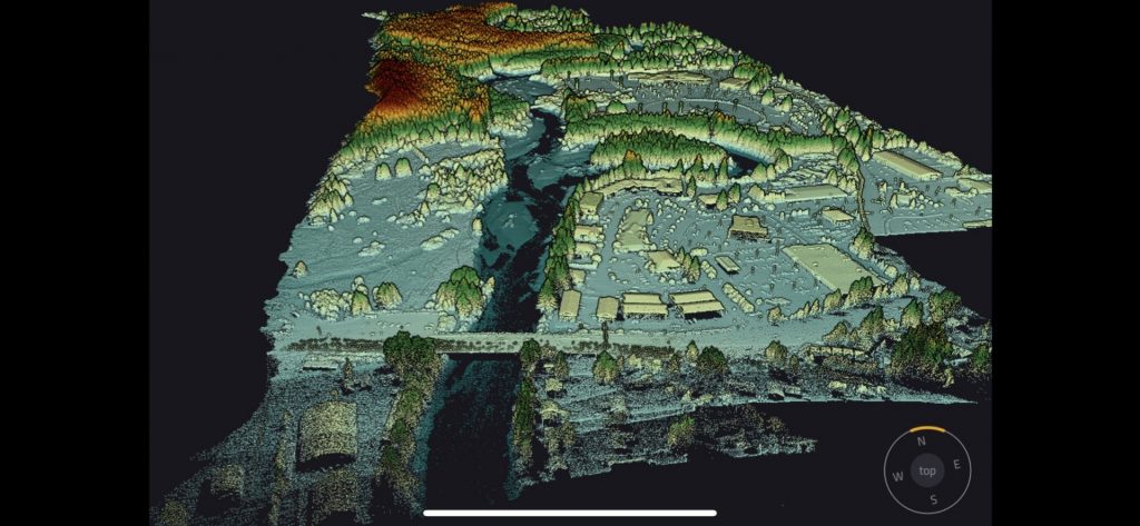
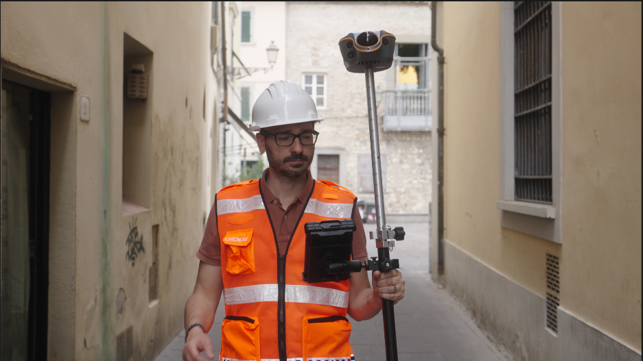
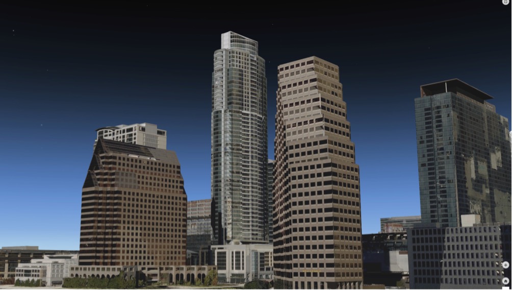
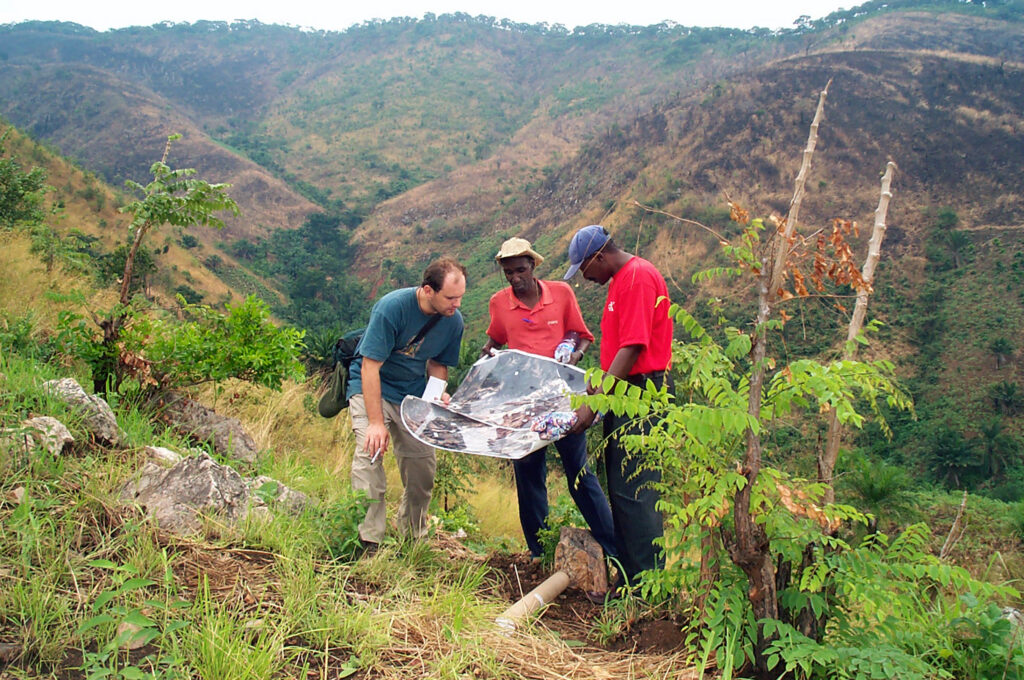
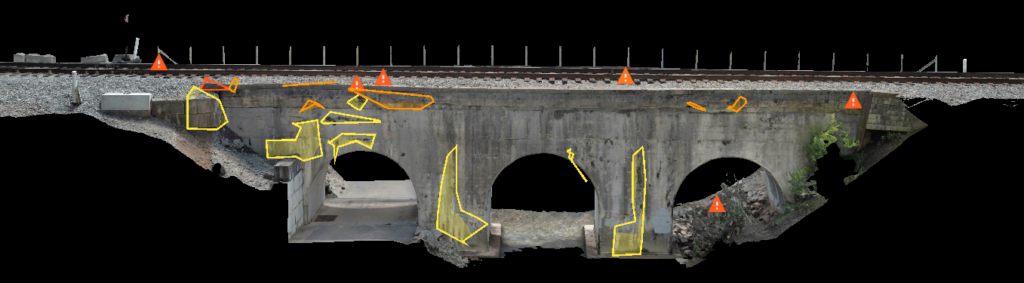
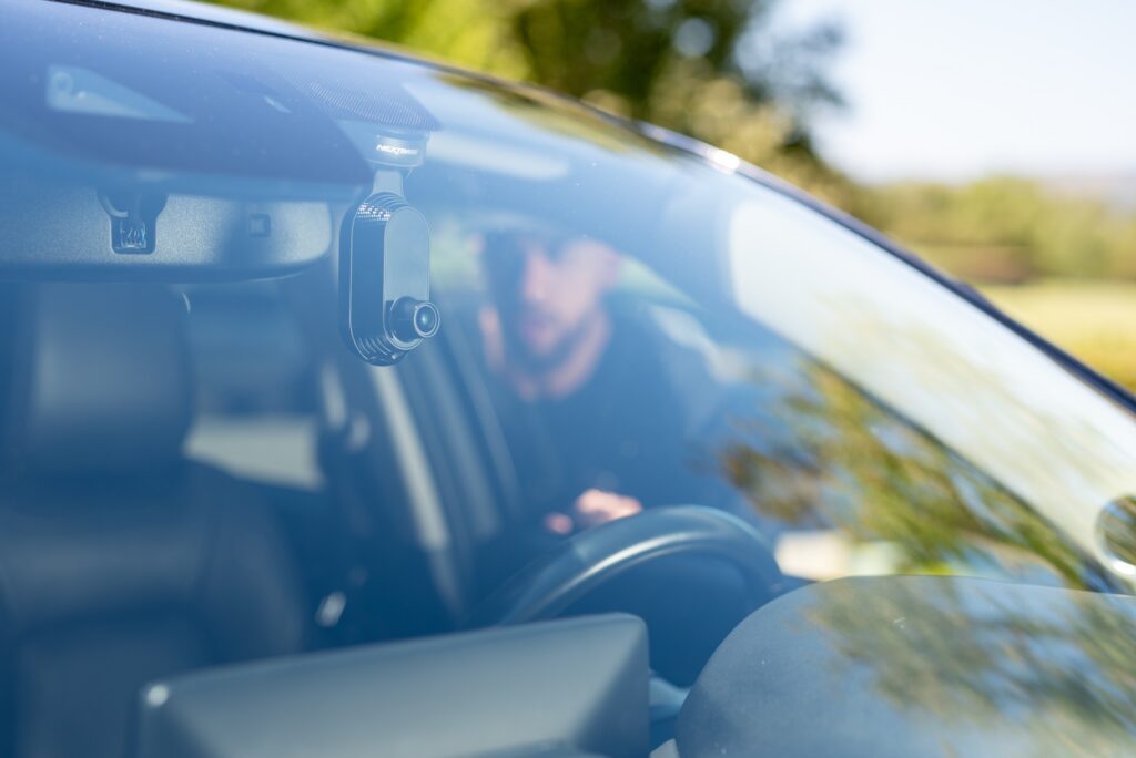
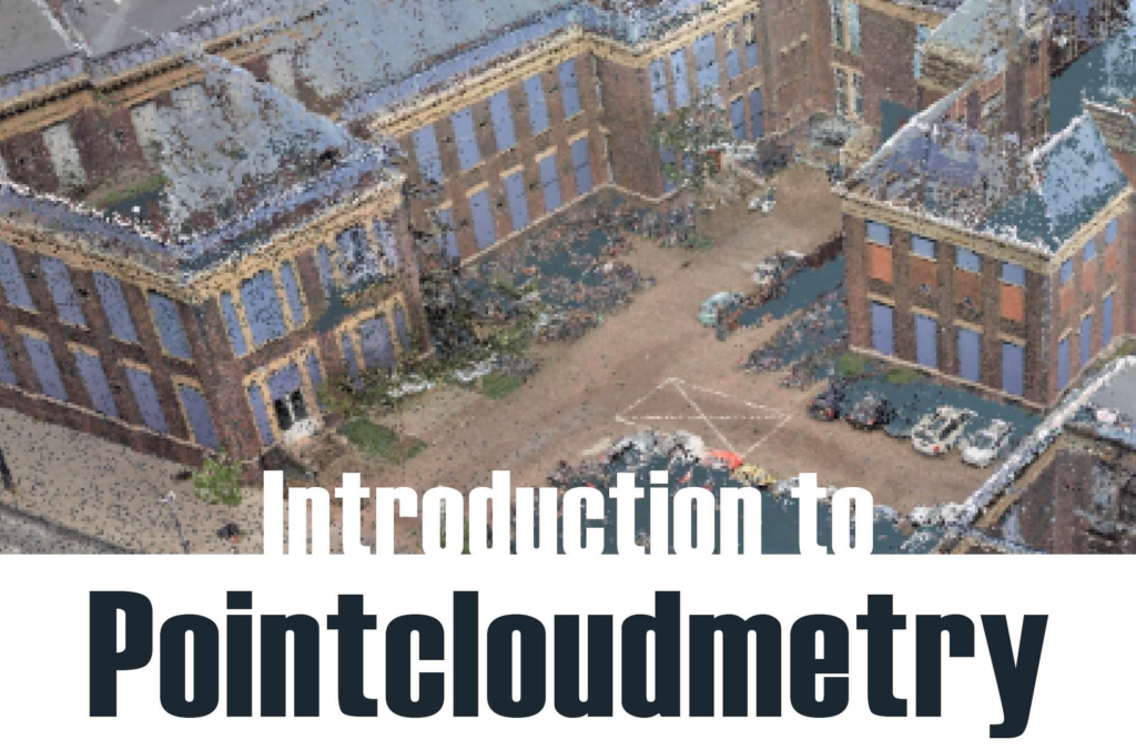
Comprehensive coverage of lidar sensors, systems, and applications — from terrestrial scanning and airborne mapping to mobile and UAV-mounted platforms.
Comprehensive coverage of lidar sensors, systems, and applications — from terrestrial scanning and airborne mapping to mobile and UAV-mounted platforms.