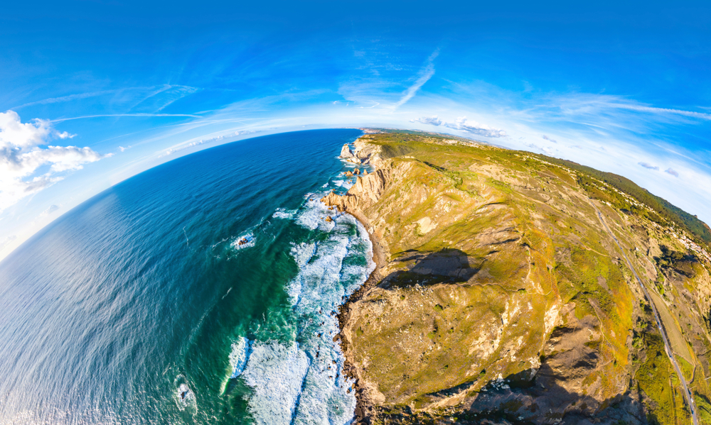

Combining multi-scale Lidar technologies to understand tropical rainforest dynamics
Luna Soenens, Zane Cooper, Geike De Sloover | GIM
Researchers are using a combination of terrestrial, airborne, and drone lidar technologies to gain new insights about tropical rain forest structure and resilience. The multi-scale point cloud data collected across Australia’s Wet Tropics is helping bridge critical knowledge gaps in how forest structure, biomass, and microclimate interact under increasing climate disturbances.
EOLOS to Deploy Floating LiDAR at ELWIND Sites
Adnan Memija | offshoreWIND.biz
Floating LiDAR Solutions has been contracted to conduct offshore measurement campaigns for the Estonian-Latvian ELWIND wind project. The data collected on metocean conditions will support wind resource assessments and design optimization, helping reduce development risks and costs for the planned cross-border offshore wind farms.
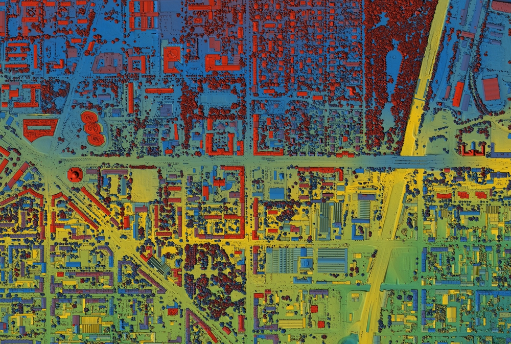
The Atlas Problem: Why Spatial Data Remains Unusable
Barry Bassnett | Lidar News
The gap between data and the insights it’s meant to deliver is wider than ever. As AI and machine learning tools add new layers of complexity to collecting and analyzing information, the world of data is becoming increasingly inaccessible to the very people who need it most. After all, what good is a dataset if you don’t have the means to make sense of it in your day-to-day work? In this article, Bassnett explores this growing divide and discusses practical ways to bridge it, transforming complex data into clear, actionable solutions.