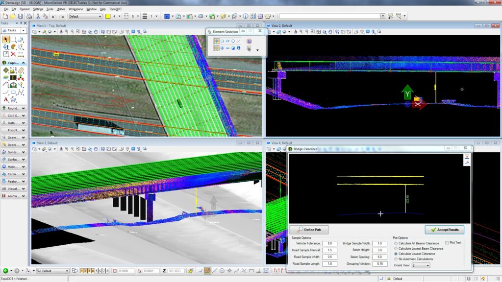
ORLANDO – Certainty 3D announced this week that Caltrans, West Virginia and Ohio have recently joined seven other U.S. state transportation departments in using the company’s TopoDOT software, a Microstation application, for processing lidar data from tripod, mobile and airborne systems. Other state transportation departments using TopoDOT include Alabama, Arkansas, Florida, Iowa, Michigan, Virginia and Wisconsin, according to the press release. Certainty 3D said it was also pleased to add New South Wales Roads and Maritime Services as the latest Australian agency to use TopoDOT. Other foreign agencies using TopoDOT include Manitoba Infrastructure and Transportation department in Canada and Queensland Department of Transport in Australia, according to the release.
“TopoDOT’s adoption by Caltrans, West Virginia and Ohio speaks well of its proven performance amongst our earlier DOT users,” said Ted Knaak, president of Certainty 3D, in a statement. “TopoDOT usage continues to increase among state DOTs as lidar is having a very positive impact on productivity and return on investment across operations. We look forward to sharing some exciting case studies with bottom line results at this month’s IHEEP Conference being held in Montgomery, AL.”