
The geospatial industry touches so many different parts of our lives and is so wide-ranging that it can be a challenge to keep up with all of the various subsections. That is why, every other week, we sweep the internet to find some stories that can highlight where things are in the industry today, ideally in a way that touches all different aspects of the sector. Today, we are highlighting the industry by looking at stories about combining lidar and aerial imagery for building extraction workflows, satellite bathymetry, and the season for surveying.
Find links to the full articles below.
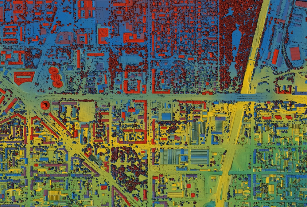
Enhancing building extraction with Lidar and aerial image data
Lingli Zhu, Emilia Hattula, Jere Raninen | GIM International
There have been too many applications enhanced by artificial intelligence to list out, but in the geospatial realm one of those has been building extraction from remote sensing data. This method can speed up the process, but traditionally the dataset has been too rich to parse quickly in a manual fashion. This article highlights a study done by Finnish researchers who leveraged lidar as well as aerial imagery alongside deep learning techniques to enhance building detection accuracy in rural and urban areas.
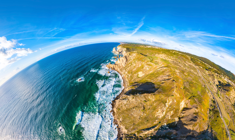
Landsat Plumbs the (Shallow) Depths
NASA
Speaking of new methods to enhance traditional workflows, bathymetry has undergone many different methodology evolutions in recent years thanks to improved technology, and this article highlights a method using satellites in space to measure coastlines. The article focuses on a paper from scientists at the U.S. Geological Survey in which thy used Landsat data to measure ocean depth in shallow nearshore environments.
Field Notes: Autumn is for Surveyors
Eric Gladhill, PLS | xyHt
At first thought, this season with the weather becoming colder around much of the United States wouldn’t be the best time for field work in the surveying industry. However, Gladhill argues the contrary in this article. He discusses the best parts of autumn, why it’s the perfect time to be outdoors, and why he believes it’s the best season for surveying field work.