
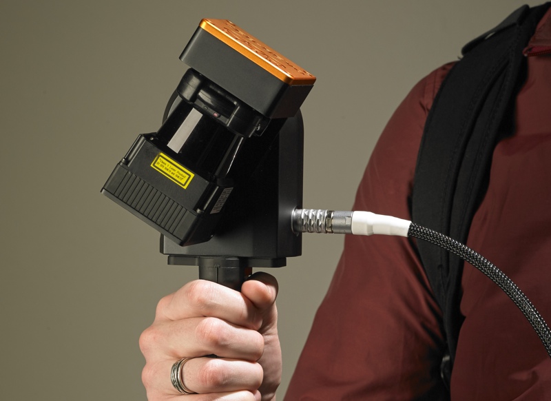
In 2012, GeoSlam introduced the ZEB1, one of the first handheld indoor-mapping systems. The form factor had obvious benefits in terms of mobility: It’s designed to be carried by its operator, so it is relatively simple to use in multi-level environments with obstacles like stairs, or in difficult environments like mines and crime scenes. Unlike a trolley-based system, it can go anywhere its operator can.
It was also designed to be very fast. The device’s simultaneous location and mapping (SLAM) algorithm (which GeoSLAM prides themselves on) works to register a full scan without GPS or control. Lastly, the ZEB1 is simple, turning on with one or two button presses. The idea is that you start it up, walk it around the site you’re mapping, and then you’re ready to process.
But there were still improvements to make. Recently, GeoSLAM has making the rounds with the ZEB-REVO, an evolution of their handheld mapping product and a solution that could make it even easier to map multi-level and difficult environments. In fact, GeoSLAM hopes it will make the process so easy that it will “blur the lines between the role of the surveyor and the technology-savvy end user.”