
Every week, we highlight stories from friends around the internet that put a spotlight on the latest from within the geospatial, advanced visualization, and AEC industries. These stories can take many different forms, whether they be about a new innovation or workflow, an interesting and/or unique use case for technology, or a higher-level look at the state of the sector. Today, we have stories about Esri’s adoption of 3D Tiles, the use of AI and digital twins in geospatial, and the modernization of the NSRS.
Find links to the full articles below.
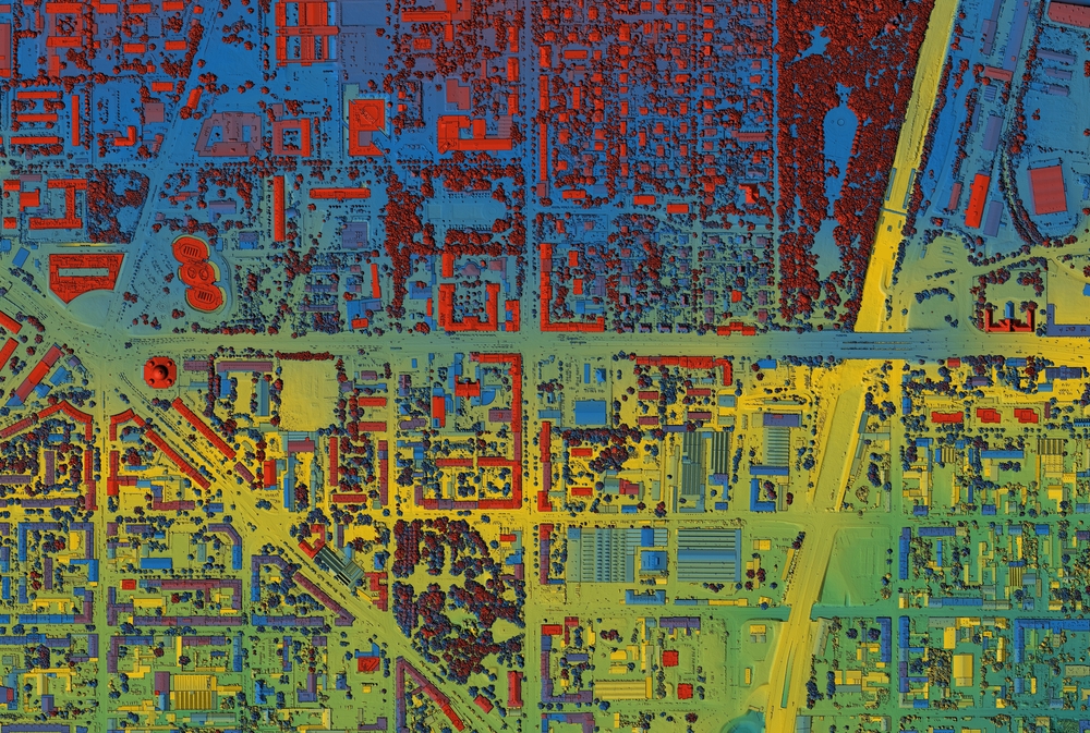
How Esri’s Adoption of 3D Tiles Accelerates the Open Geospatial Future
Open Geospatial Consortium
Roughly a decade ago, Cesium introduced the concept of 3D Tiles, a way of solving the problem of how to stream and render massive 3D geospatial datasets. A few years later, they were adopted by the Open Geospatial Consortium (OGC) as an industry standard and are now a critical part of so much work in the sector. We can expect that importance to grow in the coming years, as Esri has now announced it will integrate Google’s Photorealistic 3D Tiles into ArcGIS. This article from the OGC explores why this is such a big deal.
AI, Digital Twins and the New Geospatial Era
Christine Byrne | GIM International
Artificial intelligence and digital twins are two of the biggest buzzwords across the tech industry, and the geospatial industry is not immune to hyping them up. Just because terms are being hyped, though, doesn’t mean they aren’t actually providing value as well. This article covers just how these two tools are being used in the geospatial industry, and how they are transforming the sector.
Ready, Set, Modernize
Christopher Parrish, Qassim Abdullah, Linda Foster, Stephen White, and Jenna Borberg | xyHt
One of the most important developments in the geospatial community, particularly that community in the United States, is the ongoing project being undertaken by the NGS to modernize the National Spatial Reference System (NSRS). At Geo Week News, we’ve been covering this work extensively, and just published a report rounding up that coverage in one place. This article dives into much of the work as well, touching on the importance of this project, how people can prepare, and what the ultimate benefits will be.