• Geo Week Event
  • Subscribe

    Thank you for subscribing!

    Your insights and updates in the world of 3D, AEC and geospatial technology will be on their way to your inbox soon.

  • Lidar

    Lidar Technology

    View All

    Mobile Mapping

    Technologies and workflows for capturing geospatial data with mobile mapping systems

    SLAM

    Simultaneous localization and mapping for real-time 3D environment reconstruction

    Aerial Mapping

    Capturing and analyzing geospatial data through aerial and airborne platforms

    Point Clouds

    Digital representations of 3D data captured from scans, lidar, and photogrammetry

    Bathymetry

    Mapping underwater terrain and measuring water depth

    Hardware

    Terrestrial Scanners

    Handheld & SLAM

    Airborne Sensors

    UAV-Mounted Lidar

    Resources

    Grounded Perspectives on Drone Lidar
    Webinar

    Grounded Perspectives on Drone Lidar

    Report

    5 Geospatial Data Trends Reshaping AEC Workflows

    Latest

    • 3D Technology, SLAM

    Handheld SLAM Isn’t a New Reality Capture Technology

    • June 3, 2026
  • GIS

    GIS

    View All

    Standards

    Industry protocols and best practices that enable geospatial data and systems

    Resources

    Webinar

    The Geospatial Pipeline Doesn’t Build Itself

    Report

    GIS in Action: 5 Case Studies Transforming Public Services

    Latest

    • Featured, GIS, Industry Events, Industry Perspectives

    In Utah, Geospatial Is a Community Sport

    • June 16, 2026
  • AEC

    AEC / Built Environment

    View All

    BIM

    Building Information Modeling trends, tools, and best practices

    Digital Twins

    Digital twin technologies for smarter assets and infrastructure

    AEC Workflows

    Technology insights for architecture, engineering, and construction

    Resources

    Webinar

    Reality Capture in Active Construction Environments

    Report

    5 Geospatial Data Trends Reshaping AEC Workflows

    Latest

    • Digital Twins, Sponsored

    The Digital Twin Reality Check with NV5

    • June 29, 2026
  • AI

    AI & Emerging Tech

    View All

    Autonomous Vehicles

    Autonomous vehicle technologies shaping the future of mobility

    Robotics / Automation

    Robotics and automation solutions for smarter, more efficient operations

    Resources

    Webinar

    2026 Outlook: The Big Shifts Reshaping Geospatial

    Report

    5 Geospatial Data Trends Reshaping AEC Workflows

    Latest

    • AI & Emerging Tech, GeoAI, Insight

    Location Data, AI Governance, and the Regulations the Industry Needs to Watch

    • June 2, 2026
  • Reality Capture

    Reality Capture & 3D Scanning

    View All

    Photogrammetry

    Turning photos into accurate 3D models, maps, and digital reconstructions

    3D Visualization

    Tools and techniques for creating interactive 3D models, scenes, and digital experiences

    Resources

    Webinar

    Fast, Accurate, or Both? The Reality Capture Tradeoff No One Explains

    Report

    The Emergence of Digital Twins As A Single Source of Truth

    Latest

    • AI & Emerging Tech, Reality Capture & 3D Scanning

    What AI Is Actually Doing in Reality Capture Workflows Today

    • May 29, 2026
  • Drones

    Drones

    View All

    UAV/UAS

    Unmanned aerial systems, including drone platforms, operations, and regulations

    Resources

    Grounded Perspectives on Drone Lidar
    Webinar

    Grounded Perspectives on Drone Lidar

    Report

    How UAVS Are Improving Geospatial and AEC Workflows

    Latest

    • GIS, Industry Signals, UAV / Drones

    Hexagon Advances its PNT Roadmap with the Acquisition of Inertial Sense

    • May 21, 2026
  • Earth Observation

    Earth Observation

    View All

    Remote Sensing

    Collecting and analyzing Earth observation data from satellites, aircraft, and drones

    Resources

    This loop grid does not see any webinars categorized in Lidar?
    This loop grid does not see any webinars categorized in Lidar?

    Latest

    • Insight, Satellites

    Why Location Data Privacy Is a Geospatial Problem

    • June 18, 2026
  • Industries

    Industries / Topics

    View All

    Infrastructure & Transportation

    Geospatial tools for managing built environments and transport networks

    Energy, Utilities, Telecom, Industrial

    Geospatial solutions for monitoring, mapping, and managing energy infrastructure

    Disaster & Emergency Response

    Geospatial tools for rapid assessment, response, and recovery during emergencies

    Facility Management

    Tools for tracking and optimizing assets and facilities

    Urban Planning & Development

    Geospatial solutions for designing, managing, and improving urban environments

    Natural Resource Management

    Geospatial tools for monitoring and managing land and natural resources

    Surveying & Mapping

    Tools, techniques, and technology behind capturing and visualizing the physical world

    Historical Preservation & Documentation

    Geospatial technology in service of the past, covering how laser scanning, photogrammetry, and 3D documentation capture and preserve heritage sites, monuments, and historic structures.

    Architecture, Engineering & Construction

    How architecture, engineering, and construction teams put reality capture and 3D data to work, from BIM coordination and design through construction verification on active job sites.

  • Resources

    Resources

    View All

    Articles

    Insights, updates, and knowledge covering geospatial technologies and applications

    Webinars

    Expert sessions, demos, and discussions on geospatial technologies and trends

    Reports

    In-depth research, analysis, and insights on geospatial technologies and applications

    Case Studies

    Real-world examples showcasing geospatial solutions and project outcomes

    Latest

    • Aerial Mapping, Disaster & Emergency Response

    Reducing Power Outages with Airborne LiDAR and AI: A Scalable Approach to Vegetation Management in Eastern Canada

    • May 20, 2026
  • June 29, 2026

The Digital Twin Reality Check with NV5

  • Why Most Digital Twin Initiatives Stall Before Delivering Operational Value
Abigail Hart

Abigail Hart

Content Specialist

  • June 29, 2026


  • Digital Twins, Sponsored

SHARE

Thank you for subscribing!

Your insights and updates in the world of 3D, AEC and geospatial technology will be on their way to your inbox soon.

Get the latest geospatial news delivered to your inbox every week.

There’s some growing skepticism in the industry around digital twins, and for good reason. Too many implementations stop at visualization and never become the operational systems they were designed to be. The problem isn’t the technology; it’s the angle of attack.

“When I first started learning to fly, I thought a stall meant something was wrong with my speed,” says Steve Mulberry, a 37-year GIS veteran at NV5 with experience spanning the U.S. Marine Corps, Esri, and state and municipal agencies.

“A lot of organizations think the same way about digital twins, that they need to move fast to get to the operational outcomes. Speed has nothing to do with it.”

What causes a stall, in aviation and in digital twin programs alike, is the wrong angle of attack.

Organizations that prioritize technology deployment and speed over business outcomes find themselves with a sophisticated visualization tool that no one acts on. NV5 explores this challenge in depth in their latest e-book on connected data ecosystems and digital twin strategy, read on for a preview of the key ideas.

Visualization Is the Foundation, Not the Finish Line

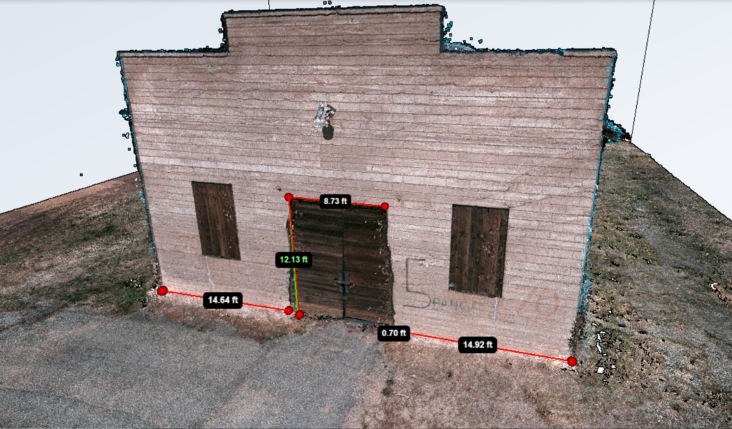
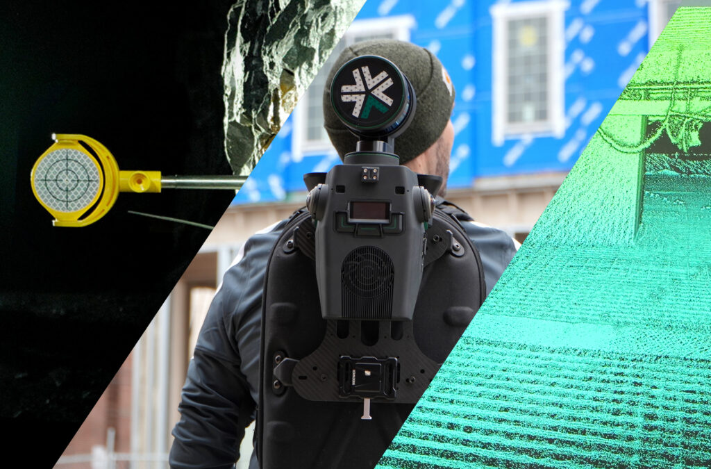
One of the most persistent misconceptions in the industry is that a digital twin is a 3D model, but it isn’t. It may be built on one, but it doesn’t end there.

“To visualize your infrastructure – your water mains, your telephone poles, your buildings – from a digital perspective is huge. It’s the foundation,” Mulberry explains. “But it shouldn’t stop there.”

The real value emerges when that digital foundation is integrated with GIS, IoT sensors, work order management systems, financial platforms, and other operational data sources. Organizations that skip this step end up with a model that shows them their infrastructure but doesn’t help them manage it.

The integration layer is where many initiatives stall, not because it’s technically impossible but because teams try to connect everything at once before seeing any value. The better approach is incremental: start with the visualization, then layer in the integrations that matter most to your specific business outcomes.

Simulation vs. Operational Execution

A mature digital twin does two things that are easy to conflate but critically different: it supports day-to-day operational decisions and it enables what-if simulation for planning.

Consider a water utility. On the operational side, a digital twin tracks pressure, flow rate, consumption, and infrastructure status in real time, helping crews respond to leaks, manage outages, and interact with customers. On the simulation side, it answers forward-looking questions: What happens to our water infrastructure if we add a new subdivision? What’s the impact on consumption rate, supply capacity, and revenue?

“To be able to simulate upfront helps the organization be better and more efficient when they plan, design, deploy, operate, and maintain that infrastructure,” Mulberry says. “A digital twin supports that whole end-to-end workflow.”

The same logic applies to transportation, electric utilities, and facilities management. The digital twin isn’t just a record of what exists, it’s a tool for modeling what comes next.

Levels, Not a Light Switch

Organizations often stall because they treat digital twin adoption as binary: either you have one or you don’t. In reality, it’s a maturity model that includes a series of levels, each adding capability and value.

“Not all organizations will get to a level five, and that’s totally fine,” Mulberry says. “The beauty of a digital twin is you don’t have to have everything in place to benefit from the outcomes.”

Levels zero through two are largely about data capture and visualization. Levels three and four are where the connected data ecosystem takes shape. Financial systems, sensor networks, customer data, and maintenance workflows all feed into a single operational picture. At this stage, the digital twin isn’t just showing you your infrastructure. It’s actively informing how you maintain it, fund it, and serve the people who depend on it.

What a Connected Data Ecosystem Actually Means

A connected data ecosystem isn’t a product or a platform. It’s the result of intentional integration over time, the point at which your digital twin starts working as a true operational system.

“Anything we do in all these different infrastructures is to provide a service to our customers,” Mulberry says. “Electricity, water, power, transportation – all of it is to help manage and maintain a very efficient world for all the people who consume these services. A digital twin gives us that ability.”

The organizations that get there are the ones that stay focused on business outcomes from the start. They don’t chase the most sophisticated visualization. They ask: what decisions do we need to make, and what data do we need to make them?

A Lesson from Apollo 13

Perhaps the most compelling proof of concept for digital twins happened before the term existed. When the Apollo 13 spacecraft suffered an explosion en route to the moon, NASA’s ground crew built a physical replica of the damaged spacecraft, fed it real-time data from space, and ran scenarios until they found a solution that could bring the astronauts home safely.

“They reconstructed that spacecraft down to the nuts and bolts, grabbed all the information in real time from out there in space, simulated the outcomes on Earth, and went through different scenarios until they got the right one,” Mulberry says. “Then they pushed that information back out to the real world.”

That is a digital twin. A virtual representation, integrated with live data, used to simulate outcomes and drive real-world decisions. The technology today may be far more sophisticated, but that principle stays the same. 

Want to go deeper? NV5 has released a comprehensive e-book on connected data ecosystems and digital twin strategy.

TAGS
  • digital twins, NV5

About the Author

Abigail Hart
Abigail Hart is a Content Specialist for Geo Week News, covering AEC innovation, infrastructure technology, and emerging applications of 3D scanning and digital twins. She brings experience in science communication and community engagement from roles at ecomaine and The Boston Women’s Fund. At Geo Week News, she focuses on making complex geospatial technology accessible to a broad professional audience. 

View more from

Abigail Hart

Related

  • AEC Workflows, Digital Twins, Surveying & Mapping

When Aerial Isn’t Enough: A Hybrid Capture Workflow for Historic Structures

  • May 27, 2026
  • AEC / Built Environment, Digital Twins, Industry Signals, Urban Planning & Development

Bentley Systems Achieves Key U.S. Government Security Milestone to Help Modernize the Nation’s Infrastructure

  • April 29, 2026
  • On-Demand Webinar, Reality Capture & 3D Scanning, Sponsored

Fast, Accurate, or Both? The Reality Capture Tradeoff No One Explains

  • April 9, 2026

Most Read

Don’t Be Scared of NSRS Modernization, Be Prepared

In Utah, Geospatial Is a Community Sport

How the Florida Wildlife Corridor Foundation Uses GIS to Save Florida’s Wild Lands

Thank you for subscribing!

Your insights and updates in the world of 3D, AEC and geospatial technology will be on their way to your inbox soon.

Get the latest geospatial news delivered to your inbox every week.

X-twitter Facebook-f Instagram Linkedin-in Youtube Envelope
  • Our Newsletters
  • Geo Week Newsletter
  • Commercial UAV Newsletter
  • Our Newsletters
  • Geo Week Newsletter
  • Commercial UAV Newsletter
  • Resources
  • Webinars
  • Reports
  • Resources
  • Webinars
  • Reports
  • Our Events
  • Geo Week
  • Commercial UAV Expo
  • Our Events
  • Geo Week
  • Commercial UAV Expo
  • About
  • Contact Us
  • Advertise
  • Authors
  • About
  • Contact Us
  • Advertise
  • Authors

DIVERSIFIED'S TECHNOLOGY PORTFOLIO

  • Privacy Policy
  • DSAR Requests / Do Not Sell My Personal Info
  • Terms of Use
  • Locations
  • Events, Products & Services
© 2026

Diversified Communications. All rights reserved.