Technologies and workflows for capturing geospatial data with mobile mapping systems
Simultaneous localization and mapping for real-time 3D environment reconstruction
Capturing and analyzing geospatial data through aerial and airborne platforms
Digital representations of 3D data captured from scans, lidar, and photogrammetry
Mapping underwater terrain and measuring water depth
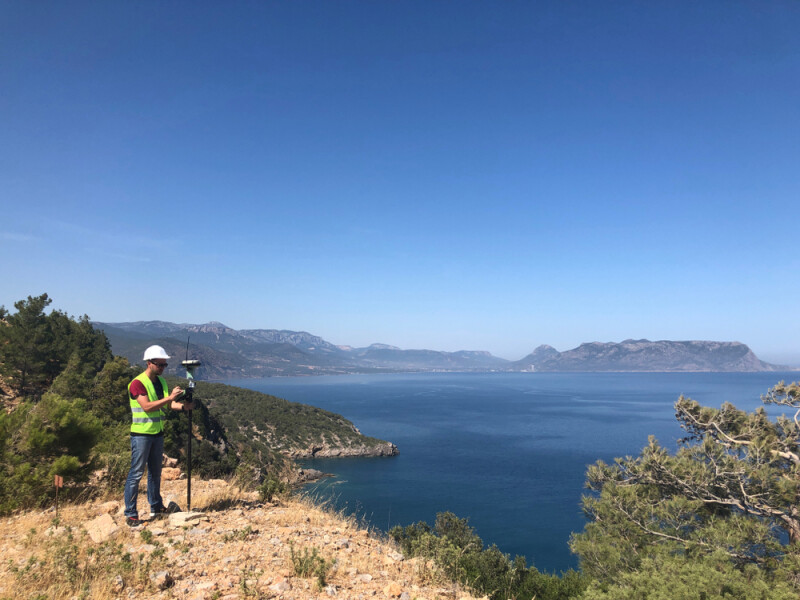
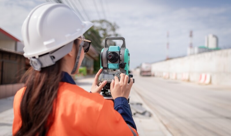
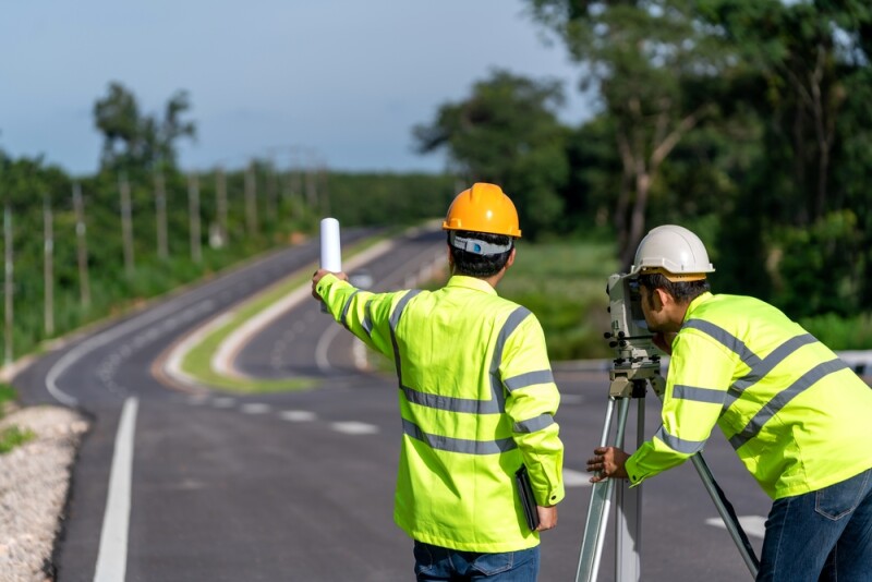
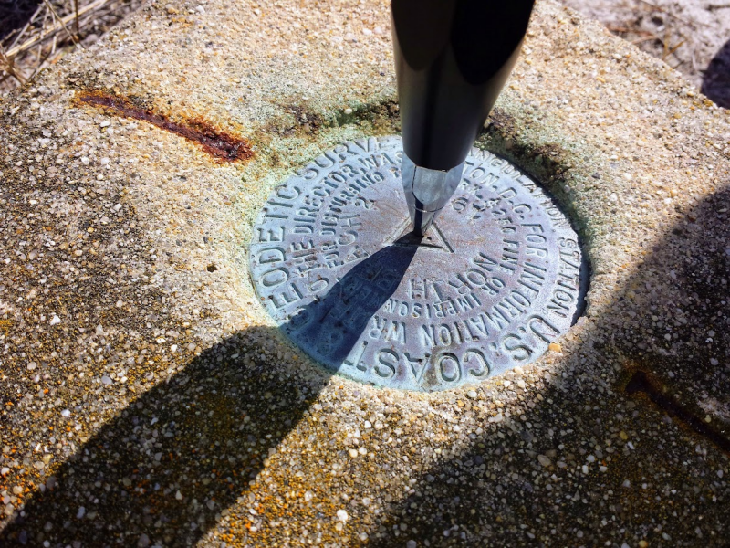
Geospatial and positioning technologies for navigation, surveying, and spatial analysis
Industry protocols and best practices that enable geospatial data and systems
Building Information Modeling trends, tools, and best practices
Digital twin technologies for smarter assets and infrastructure
Technology insights for architecture, engineering, and construction
Autonomous vehicle technologies shaping the future of mobility
Robotics and automation solutions for smarter, more efficient operations
Turning photos into accurate 3D models, maps, and digital reconstructions
Tools and techniques for creating interactive 3D models, scenes, and digital experiences
Unmanned aerial systems, including drone platforms, operations, and regulations
Collecting and analyzing Earth observation data from satellites, aircraft, and drones
Geospatial tools for managing built environments and transport networks
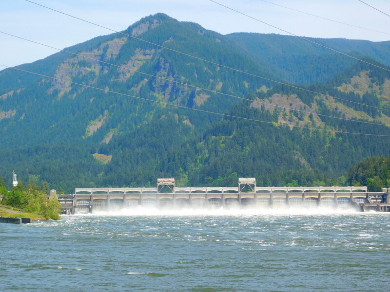
Geospatial solutions for monitoring, mapping, and managing energy infrastructure
Geospatial tools for rapid assessment, response, and recovery during emergencies
Tools for tracking and optimizing assets and facilities
Geospatial solutions for designing, managing, and improving urban environments
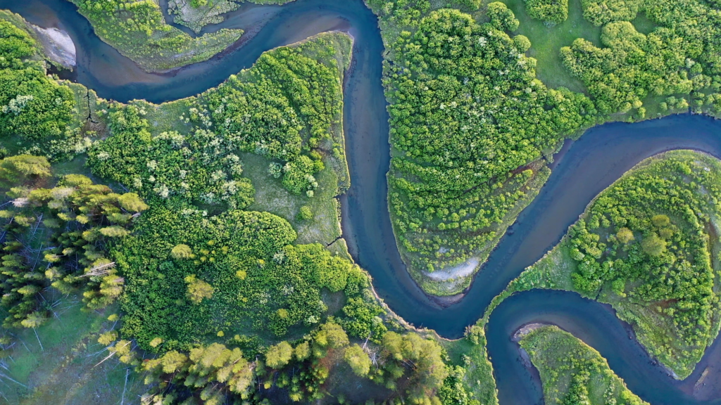
Geospatial tools for monitoring and managing land and natural resources
Insights, updates, and knowledge covering geospatial technologies and applications
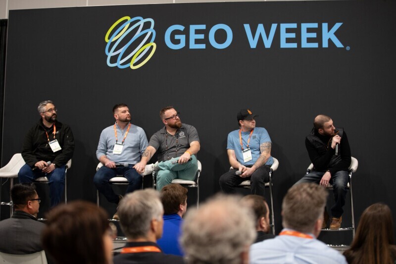
Expert sessions, demos, and discussions on geospatial technologies and trends
In-depth research, analysis, and insights on geospatial technologies and applications
Real-world examples showcasing geospatial solutions and project outcomes