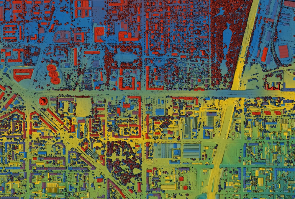
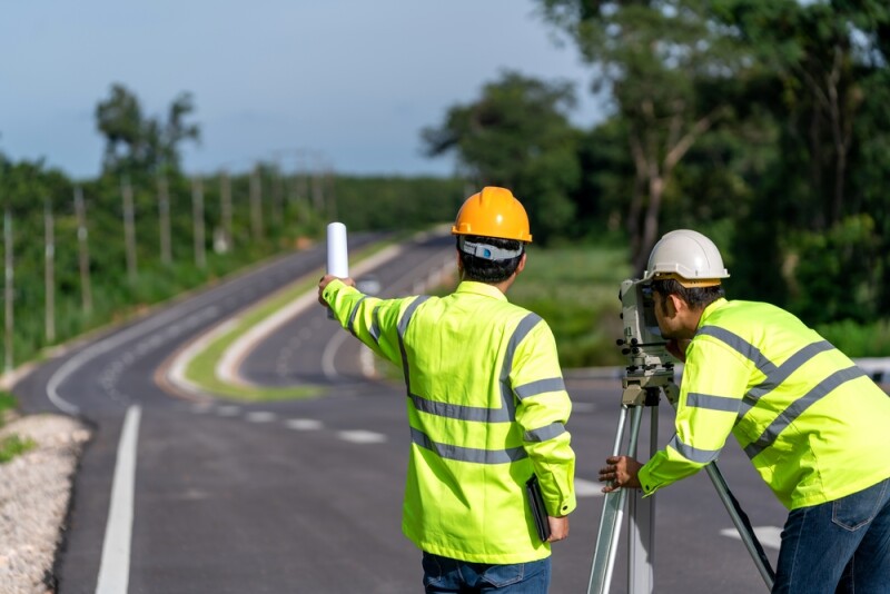
This week as we look at a handful of stories from around the geospatial and lidar industries, we have a bit of a focus toward questions related to the broader surveying community, with one case study mixed in as well. First up, we have about as high level of a question as one can ask about the surveying industry: Are surveyors professionals or merely technicians? After that, our next article goes a bit into the weeds about one specific question for surveying and measurements in the industry. Finally, we have a look at a new methodology for assessing hurricane damage. Find links to the full articles below.
Are Surveyors Professionals or Merely Technicians?
Jeff Lucas | xyHt
In this article, Lucas harkens back to yet another article that was written back in 1961. In that article, Lucas says, Curtis talks about the difference between being a technician and a professional, and into which bucket a surveyor would fall. Lucas discusses some counterpoints to parts of Brown’s arguments, and expands upon the relevant definitions.
Oh My Foot, Another Change!
Curtis Clabaugh | Lidar News
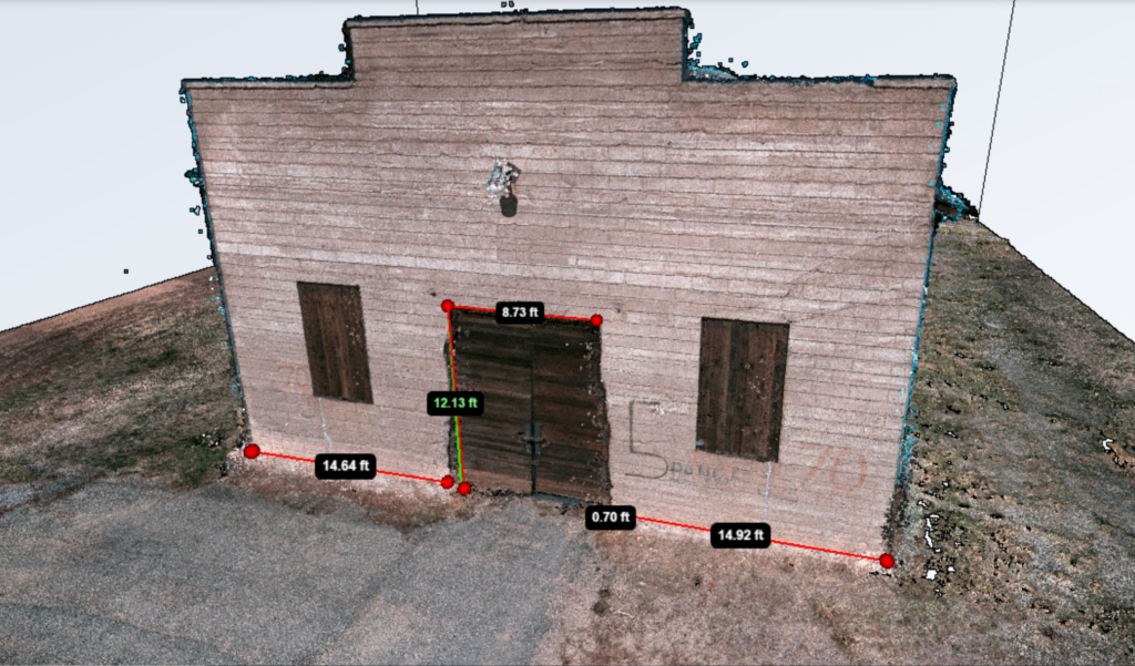
Next up, we have an article diving into some potential problems that could arise from a subtle change. Clabaugh spent 43 years as a surveyor with the Wyoming Department of Transportation, and here he writes about the upcoming changes to reference frames from NGS and the depreciation of the US survey foot in favor of the international foot. He discusses some specific examples of where problems could arise, as well as the answers he’s gotten from a variety of people when he brings up his concerns.
After The Storm: Assessing Hurricane Damage Using Remote Sensing Technology
John Oncea | Photonics Online
In our final article from around the industry, Oncea dives into work done by a team of researchers at Florida Atlantic University to develop a “novel technique that uses aerial imagery and lidar to provide high-resolution assessments of detailed hurricane damage.” The article talks about the process outlined by the FAU research team, how it compares to more traditional methods, some of the benefits, and how lidar was used in assessing damage following 2022’s Hurricane Ian.